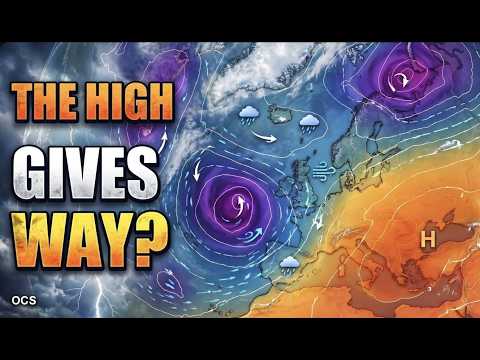
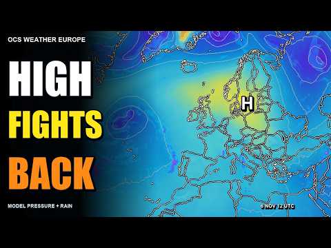
Follow the fronts inland
The centre of an Atlantic low can remain over the ocean while its fronts extend onto land. Air rises along a front, which can produce cloud and rain well away from the low’s centre. Follow the front and the rain band on the forecast maps to see which areas might get wet.
In the episode published 7 November, Mara Quinn follows this setup into Iberia and western Europe. The outlook covers 7–13 November and also looks at regional variations from the Alps to southern Scandinavia.
Watch where the rain slows
High pressure can hold a front back or alter its path. A shift in the predicted position of a rain band can change when it reaches the coast and how far inland it moves. The programme compares recent GFS runs to explore where the guidance differs as the pressure pattern evolves.
Compare charts for the same forecast time to see how the predicted position of a front changes from run to run. For plans tied to a particular town or day, consult the latest local forecast for the timing of rain.
Sources & further reading
Independent background for the ideas explored on this page.